October 8, 2026
Drone vs crewed aircraft for pre-spray weed imagery
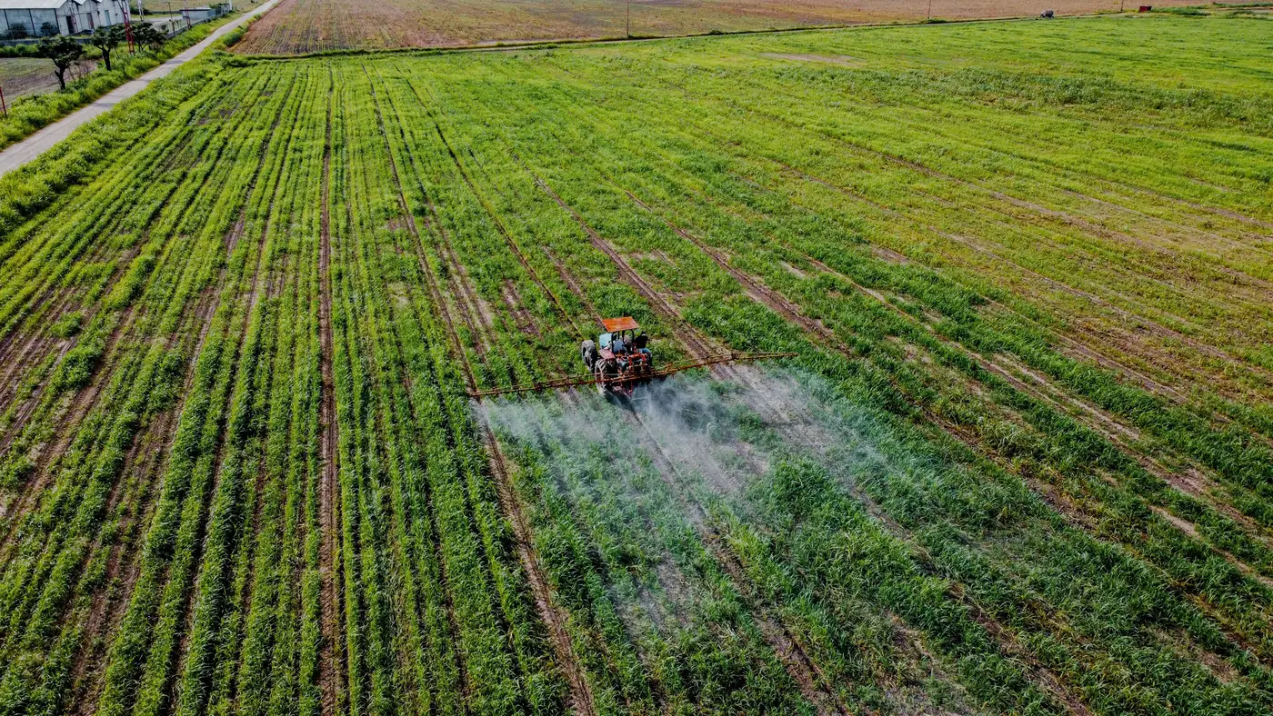
If you're scheduling this week's runs, the drone-vs-crewed-aircraft question isn't really about which platform takes a sharper photo. It's about which one gets usable imagery into your hands before the spray window closes on you.
Both can fly RGB imagery. Both can get you resolution fine enough to tell a weed leaf from a crop leaf. The difference shows up in how fast you can turn a flight into a patch map that an operator can load and go spray.
What actually changes between the two
A drone sortie covers one field, maybe a few adjoining ones, before you're swapping batteries or driving to the next pull-off. That's slow if you've got twelve sections to cover before Thursday. But it's also the platform that lets you send someone back out on short notice: a cold front pushes your window two days, or a client calls about one troublesome quarter-section, and you can have a UAV in the air that afternoon without booking anything.
Crewed aircraft flip that trade. One flight plan can cover a block of fields in a single pass, which matters when you're trying to get ahead of a weather window that's closing on the whole operation, not just one field. The catch is scheduling lead time and the fact that you're committing a pilot and airframe to a route, so last-minute reflights cost more than a drone operator just driving back out.
Ground sample distance is where people expect a clean answer and don't get one. UAV imagery at 2 cm or finer is routine and gets you leaf-scale separation, which is what a spot-spray map actually needs: you're not trying to classify a field, you're trying to draw a boundary tight enough that section shutoff doesn't waste chemical on bare ground three meters past the patch. Crewed aircraft can hit similar resolution with the right sensor and altitude, but it depends on the setup, and it's not automatic the way it is on a UAV flying low and slow.
Matching the platform to your spray window
The honest way to think about this isn't "drone or aircraft," it's "how much field do I need covered, and how much slack do I have before the application has to go down." A per-pass program built around tight return visits, where you're flying a field, treating it, and flying it again a few weeks later to catch regrowth or a new flush, tends to live on drones. The coverage per flight is smaller, but so is the area you're treating at leaf scale, and the turnaround from flight to treat map matters more than total acres per day.
A program where you're trying to blanket a large area with pre-spray imagery in the few clear days before a front rolls in leans toward crewed aircraft, assuming you can get the booking lined up early enough that the flight itself isn't the bottleneck. Wind and cloud ceiling hit drones harder day to day, so if your spray window is short and the weather's marginal, a crewed flight might be the only thing that gets you coverage at all.
Most outfits running both end up using them for different jobs rather than picking one. Aircraft for the first broad pass across a block of fields, drones for the tight return visits and the one-off fields where the call came in late. The deciding factor each time is the same question: what do I need in hand, and by when.
If you're mapping this week's pulls against your spray window and want to see what a per-pass patch map looks like for a field you're flying, Weed Mapping is built around exactly that handoff, from flight to a spray-ready map matched to the pass.
We're running this with pilot partners now. If that's the gap you're trying to close, get in touch about the waitlist.