November 16, 2026
Field notes: the invoice that finally made the boss believe in patch maps
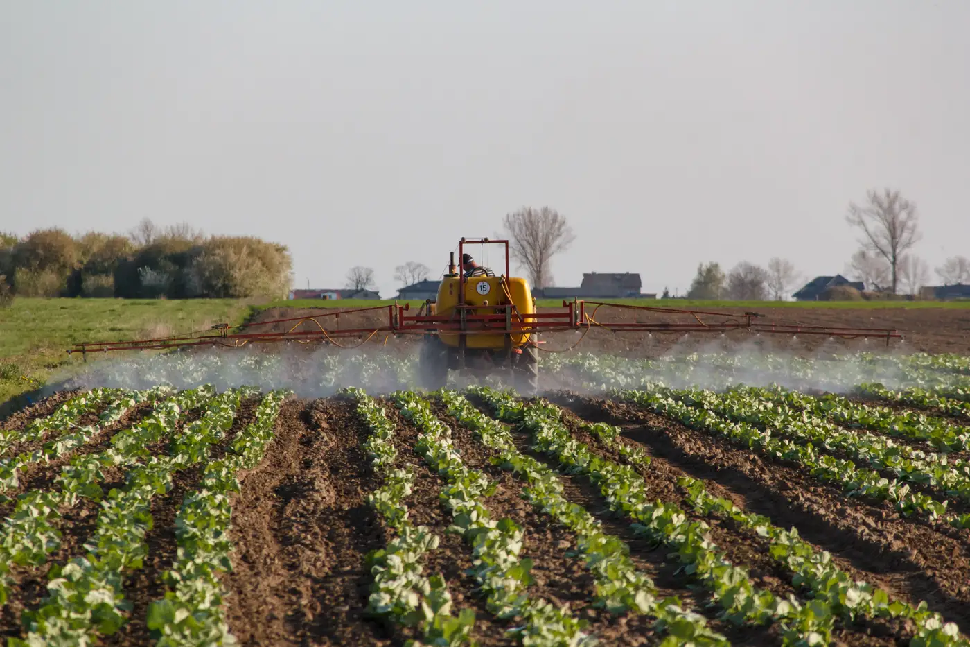
Every contractor has a version of this story, and it rarely starts with a spec sheet.
It starts with a chemical invoice sitting on someone's desk, and someone else walking past it, and stopping, and asking why a 160-acre field needed enough product to cover 160 acres when the weeds were sitting in maybe twelve of them.
The line item is what does it, more than any demo or sales call ever could.
We've heard the shape of this conversation enough times to know the beats. The spray truck did what it was told: blanket rate, full field, boom wide open the whole pass. Nobody did anything wrong. That's just how the job's been run for as long as anyone's run it. You know the field has weed pressure somewhere, but you don't know exactly where without walking it row by row, so you treat the whole thing and move on to the next job on the list. Rational, defensible, and expensive in a way that's easy not to notice until the invoice lands on the desk.
The boss in this story has run spray rigs for twenty years and trusts his crew. He also does math for a living, and the numbers on that invoice didn't square with what he saw driving the field two days later. Weeds in the low corner where water sits. A strip along the tree line. A patch near the old access road where something always comes up first. By his own eye, maybe fifteen percent of the field carried real pressure, and the other eighty-five percent got sprayed anyway, because blanket rate was the only way anybody knew how to run it.
That gap, between what the invoice billed and what the field needed, is the real argument for spot spraying. Most operators don't need convincing that treating less ground costs less. What's been missing is knowing which ground, with enough confidence to put a shutoff command behind it instead of a guess.
This is where it gets interesting for people already running section control on their rigs. The hardware's been capable of shutting off individual boom sections for years. What's been missing is a treat map accurate enough, at a scale fine enough, to trust the shutoff to the pass running this week. A county-level density estimate doesn't cut it. Neither does last month's imagery, or a map drawn from altitude so high it can't tell a weed from a crop row at leaf scale. The boom doesn't care about confidence intervals; it cares about where the boundary sits, down to the square metre, on the day it flies.
That's the gap we built Weed Mapping to close: a spray-ready patch map tied to the pass that flew it, drawn from imagery fine enough to separate weed from crop leaf by leaf, not field by field. It doesn't replace the operator's judgment. It gives the boom something specific to act on instead of a blanket rate covering ground that didn't need it.
We're not going to hand you a percentage and tell you that's what you'll save, because every field is different and anyone who quotes you a number before they've seen your acreage is guessing. What we'll say is this: the invoice that makes the case for patch mapping is sitting on a desk somewhere right now, and most of the field it's billing for probably didn't need a drop.
If this week's spray schedule has a field or two you'd rather spot-treat than blanket, we're running this with a handful of pilot partners and would like to talk about yours.