November 2, 2026
Field notes: the pass where the map and the boom argued all morning
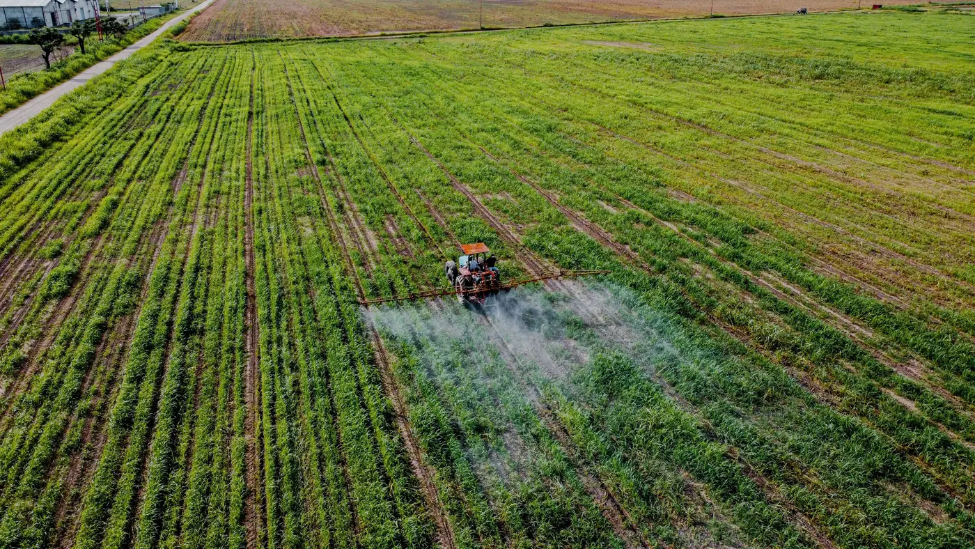
Tuesday, the home quarter past the slough, wind laid down around seven and gave us maybe four hours before it'd pick back up again. One field, one pass, one operator who'd been up since five getting the rig ready. Should have been a clean morning.
The patch map was two days old, flown Sunday in good light, patches drawn up tight and sharp at leaf scale. The boom runs section shutoff on 3-metre sections off GPS, nothing fancy, just a controller doing what it's told. Two systems that are supposed to agree on where to spray and where to coast. For about forty minutes, they didn't.
First pass down the east side, the boom killed a section right where the map showed a patch dead center. Operator radioed in thinking it was a GPS glitch on the rig. It wasn't. The patch had moved, not far, maybe eight or nine metres west of where Sunday's flight caught it. Two days of growth, two days of whatever that wind did to the canopy, and the weeds had crept past the edge of the section the map told the boom to open.
That's the argument nobody talks about when they're selling you a weed map: the map is a photograph of Sunday, and the boom makes its decisions on Tuesday. A lot can happen to a patch of kochia in forty-eight hours with decent moisture behind it.
The fix that morning was the one every operator already knows and nobody likes doing mid-pass: widen the kill zone by a section on either side of every mapped patch, eat the extra chemical on the margin, keep moving. It worked. It also meant we sprayed roughly a third more product than the map called for on paper, which is the kind of number that doesn't show up in anyone's chemical spend report until the invoice does.
Three days between flight and spray is too long for anything growing fast. One day is workable. Same day, flight and spray window lined up, and this stops being an argument at all. A patch map flown that morning and run that afternoon has almost no room for the weeds to walk off the coordinates you gave the boom.
There's a resolution mismatch too, separate from the timing one. The flight imagery resolves down to 2 cm, fine enough to see a weed's leaf shape against the crop canopy. The boom resolves to whatever your section width is, 3 metres in our case, sometimes narrower on newer rigs. That gap gets filled by whoever builds the treat map, deciding how a cluster of individual weed hits at 2 cm gets rounded up into a section-sized block the controller can act on. Round too tight and you clip patches at the edges. Round too loose and you're back to blanket rate on ground that didn't need it.
None of this is a knock on section control. It's doing exactly what it's built to do. It just needs a map that was flown close enough to the spray window to still be telling the truth about where the weeds are standing. That's the whole case for building the patch map off the pass that's actually about to run, not off whatever flight happened to be convenient that week. Weed Mapping builds the treat map to the pass that flew it, which is the only way to keep the map and the boom from arguing over ground that's already changed.
We finished the field by half past ten, wind came up right on schedule, and the invoice this month will show the extra margin we sprayed on the east side. Next time we fly closer to the window.
If your next pass has a field like that on the list, this is worth a conversation before you cut the flight date.